





Measured survey
Land measurement for planning and development purposes, Guidance Note, Global 1st edition, Published by the Royal Institution of Chartered Surveyors (RICS) in May 2021, states: ‘A measured survey is carried out using precise surveying equipment that can measure and fix position, linear dimensions and shape. This may be achieved using equipment that measures angles and distances, such as an electronic theodolite/total station, or that fixes coordinates using satellites (GNSS). Drones are increasingly being employed for this purpose. The specification for undertaking the survey and the output accuracy should be fully understood.’
[edit] Related articles on Designing Buildings Wiki
Featured articles
Check out some of the best features and news from Designing Buildings as well as key stories from around the web.

Updated supplier guide can help electrical contractors engage with NHP.

CIAT confirm the winners of the 2026 architectural technology awards.
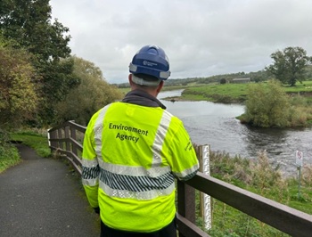
Government launches a one stop shop for flood preparedness.

Sir Edwin Lutyens: Britain's greatest architect? Book review.

CIOB publishes free template to help assess and manage risks.
ECA's reflections on Party Conference season

Burnham wants to be confident of winning before asking for a fresh mandate.
New Chief Construction and Scientific Adviser

Sergio Cavalaro, Professor of Infrastructure Systems at Loughborough University.
Building safety levy for England

CIAT publish estimator tool for members.
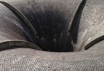
Water sector faces a growing crisis that could slow the delivery of vital infrastructure.
Undervaluing our industrial past

Heritage value changes as taste for building styles changes.
Changing expectations around competence and compliance

New information sheet from CIAT.
Grenfell investigation files passed to CPS

Angela Rayner apologises on behalf of the British state.